Sint-Amandsberg Geometric Courtyards
Abandoned place – Gent, Belgium
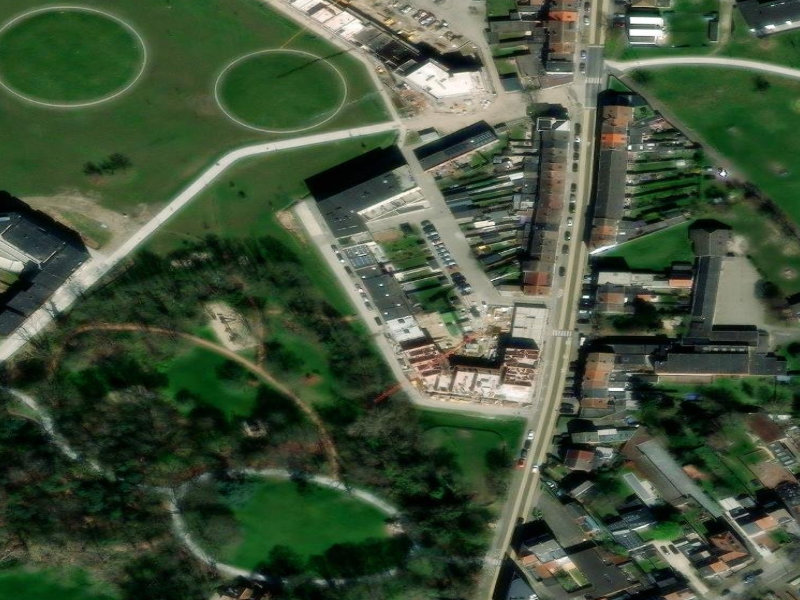
From high above, the structured layout of Sint-Amandsberg in Gent, Belgien, reveals a fascinating intersection of urban planning and nature. Circular green clearings contrast sharply with the linear residential blocks and decaying rooftops, hinting at a community caught between historical preservation and modern redevelopment.
Details
- Address: Gent, Belgium
- GPS coordinates: 51.0729739051114, 3.751360906
- Tags: Residential, aerial-exploration, urban-planning, belgium-urbex, residential-history, Urban Planning, Green Spaces, Modern Architecture, Aerial View